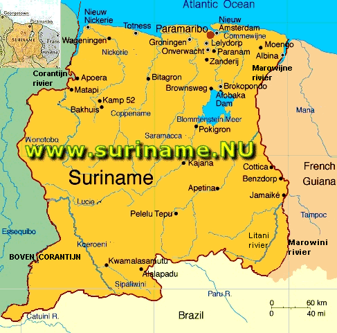
| Suriname is situated between French Guyana to the east and Guyana to the west. The southern border is shared with Brazil and the northern border is the Atlantic coast.Suriname is the smallest sovereign state in terms of area and population in South America. There are two main mountain ranges in the Bakhuys Mountains and the Van Asch Van Wijck Mountains.
The Juliana top is the highest point in the country at 1,286 meters (4,219 ft) above sea level. Suriname is divided into ten districts. Suriname has a very hot tropical climate, and temperatures do not vary much throughout the year. The year has two wet seasons, from April to August and from November to February. It also has two dry seasons, from August to November and February to April. Suriname is extremely diverse ethnically, linguistically, and religiously. Dutch is the official language and the language of education, government, business and the media.
Facts and Figures: |
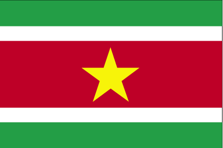 Flag Flag
|